Day 45: Kennedy Meadows to PCT mile 716.5, 14.25 miles
Day 46: PCT mile 716.5 to 733, 16.5 miles
Day 47: PCT mile 733 to 753, 20 miles
Day 48: Crabtree Meadow Ranger Station, 14.5 miles
 After a good dinner of fish tacos, we slept well before day 45 of our trip. Drew had breakfast with us, then got us to the trailhead a little after 10am. My new boots felt great, my feet looked much better, and I was optimistic about entering the Sierras. Unlike previous legs of our trip, this section is the most remote. We entered it with 10 days worth of food to last us the 193 miles to our next maildrop pick-up.
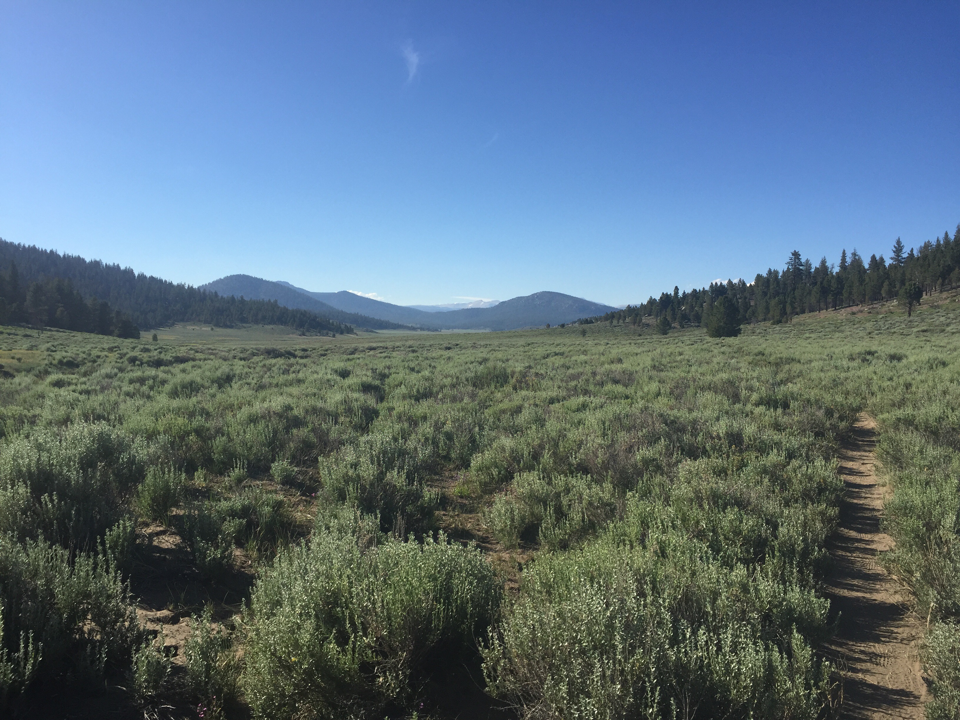
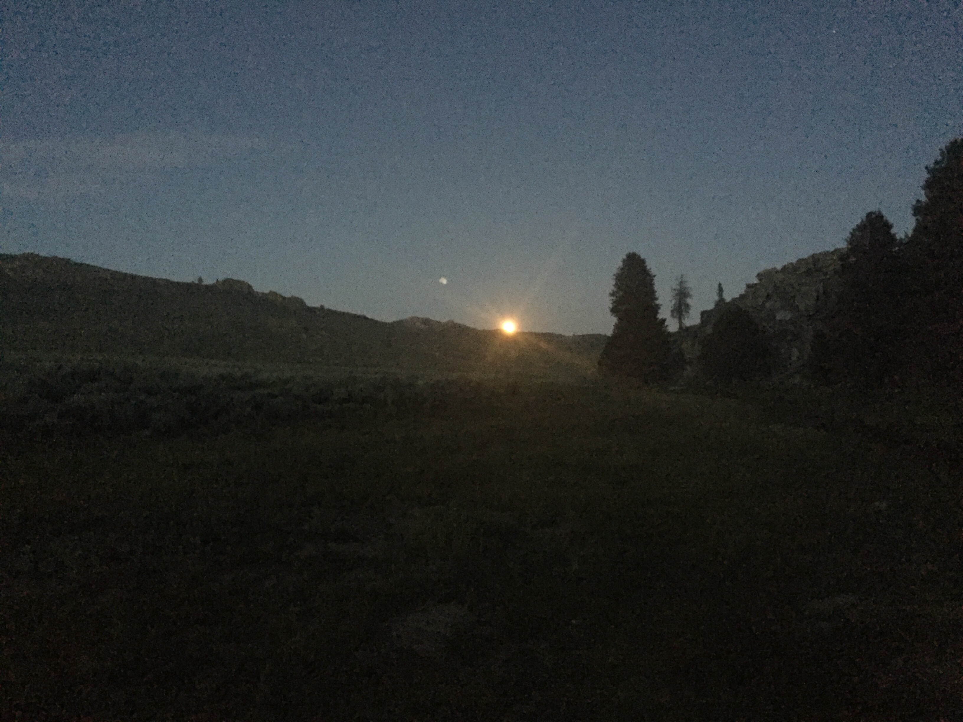
Once on the trail, we were still in a heatwave, so the rest of the day was surprisingly hot- even above 7000ft! Fortunately, there were plenty of water sources for us to hydrate at throughout the day. We ended the night camped by a river, and saw the full moon rise over the ridge- it looked huge! Garrett said that it was views like that that keep him hiking, and I agree!
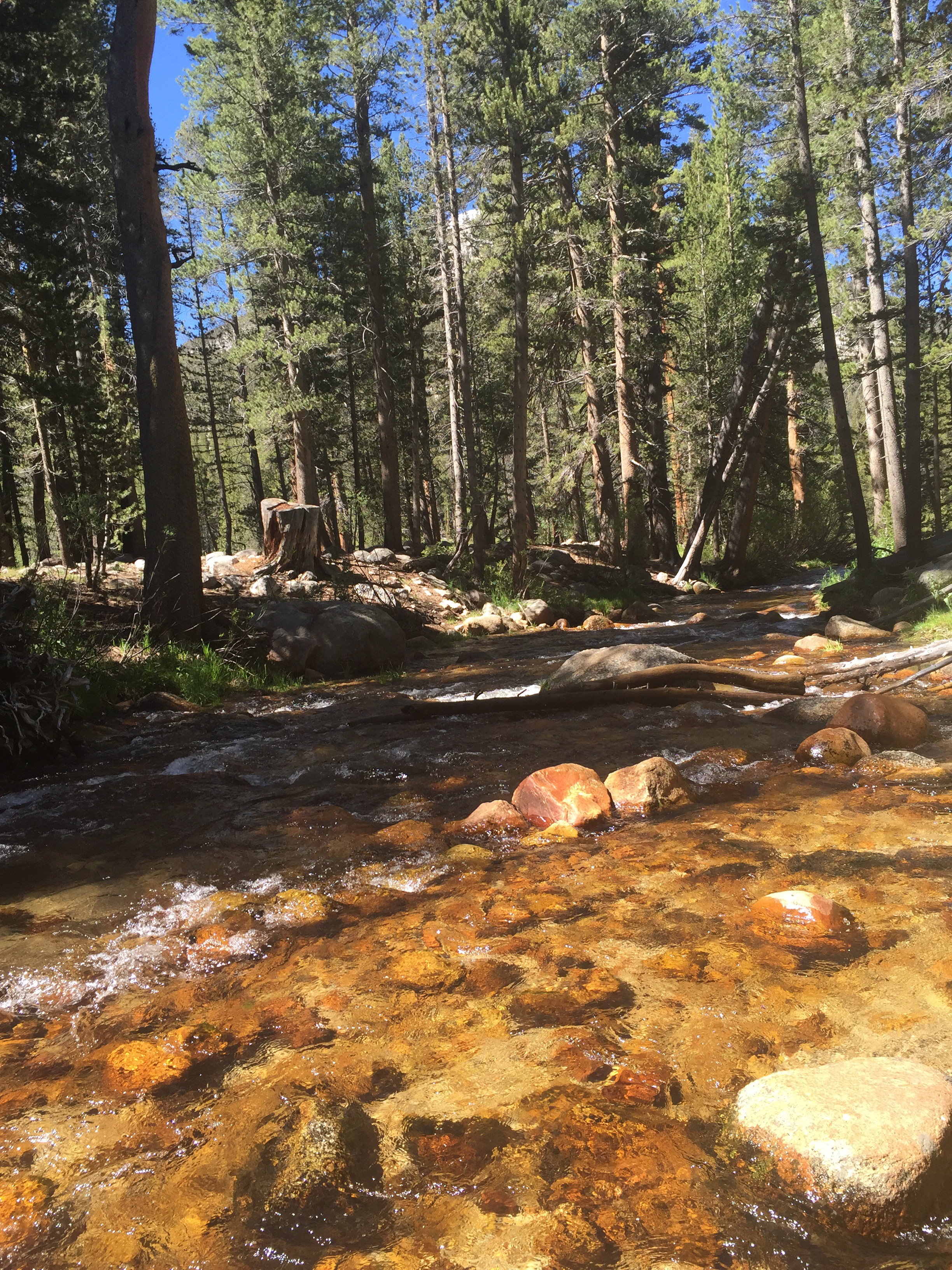
 Day 46 we slowly climbed further up in elevation, cloaked for most of the day in pine forests. Our packs were heavy with all the food we had to carry which slowed us down considerably. Early evening we stopped and had dinner at the disturbingly named Death Canyon Creek, before continuing up to a quiet camp spot beneath the trees, and with plenty of mosquitos!
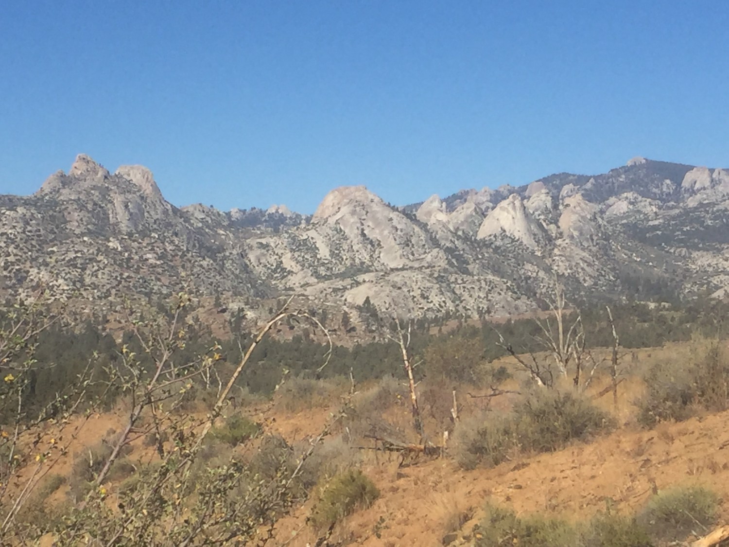
 By day 47, the heatwave started to break, and we had enough distance between the desert and us to feel like we really were entering the Sierras. The scenery really started to change, and as we ambled up a few low mountain passes throughout the day we caught glimpses of the mountains that were to come. We reached 10,000 feet elevation, and stopped at our first Sierra lake-Chicken Spring Lake. It was too cold for me to jump in, but Garrett welcomed the chance to finally splash around in the water. We noticed that since the desert, we’ve felt much cleaner not being surrounded by dust, but it is nice to know we have bodies of water ahead to rinse off frequently in the upcoming weeks. We hiked another mile and stopped for dinner, then found a nice spot to camp under a tree in a boulder field. Because we are in bear country, it is recommended to not eat where you sleep. We’re liking the routine of stopping for an earlier dinner, then hiking a few post-prandial miles before calling it a day.
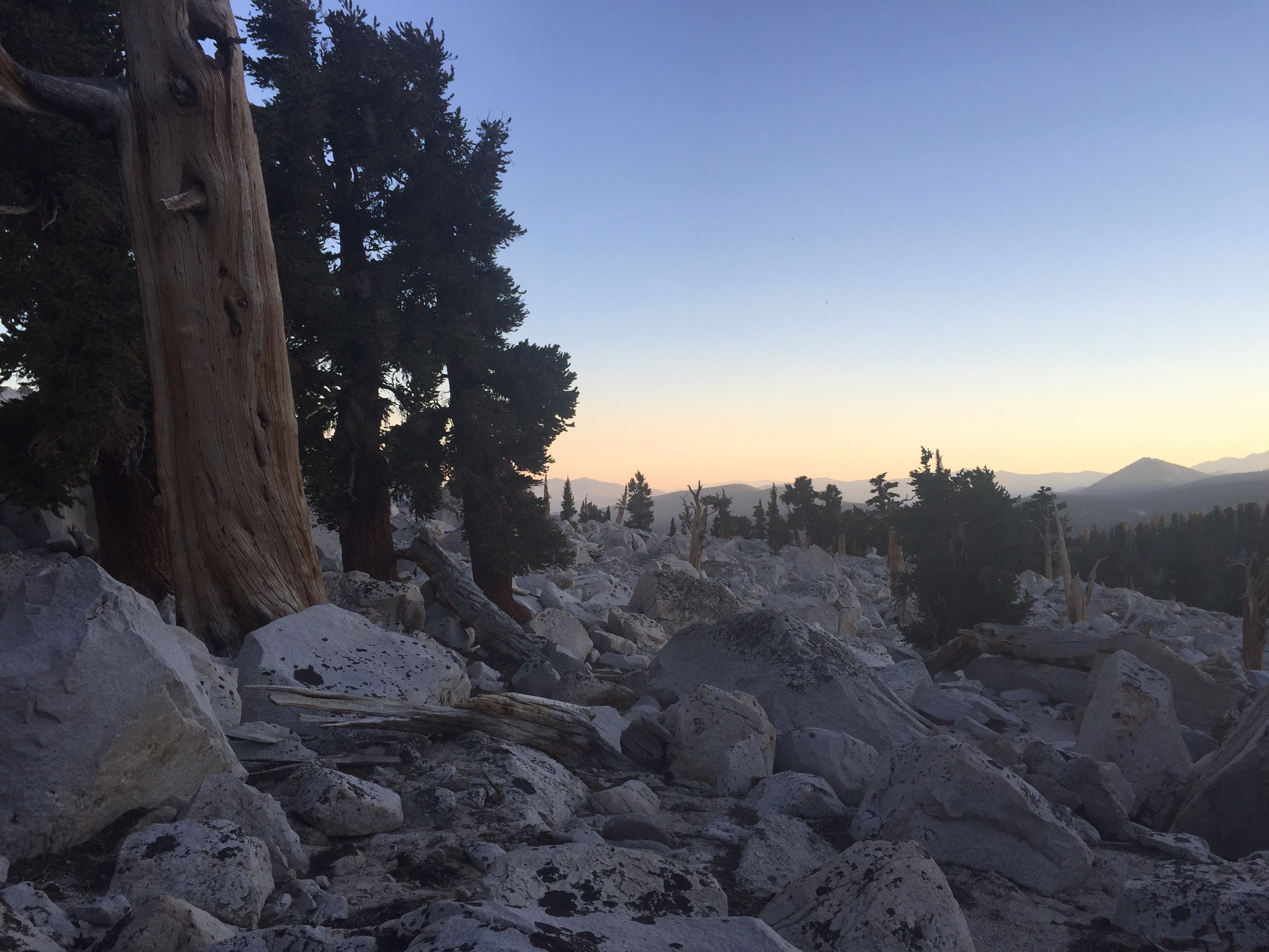 Day 48 was an exciting day, as we were starting to get higher in elevation and our packs were feeling better as we adjusted to the bulky bear cans (and ate down some of our food). To get to our next resupply spot without running out of food, we had to average about 18 miles a day; and after our 20 mile day the day before we felt like it was possible. We also were approaching Mt. Whitney, the highest point in the contiguous United States at 14,505 feet! While not on the PCT, it is only a 17 mile total side trip from the trail. Along the way to the trail we saw mule deer, had our first creek ford, and entered Sequoia National Park.
 We planned to hike up and camp four miles from the summit, as our maps and guides indicated there was camping spots. About a mile in, we arrived at upper Crabtree Meadows and were surprised to find at least 25 tents scattered amongst the trees. We then noticed a sign from the ranger to PCT hikers explaining that while our PCT permits allow us to hike Mt. Whitney, they do not allow us to camp above the meadow- as special permits were needed for that. Apparently most PCT hikers were surprised by this as well, thus the many tents! It was 4pm, too late to attempt to summit. We were a bit disappointed, as we needed to make more miles that day, but made the best of the situation and rinsed some clothes out in the stream, and relaxed in the sun for the rest of the day.


your photos are bnreathtaking. Thank you! And neither one of you looks like total sk