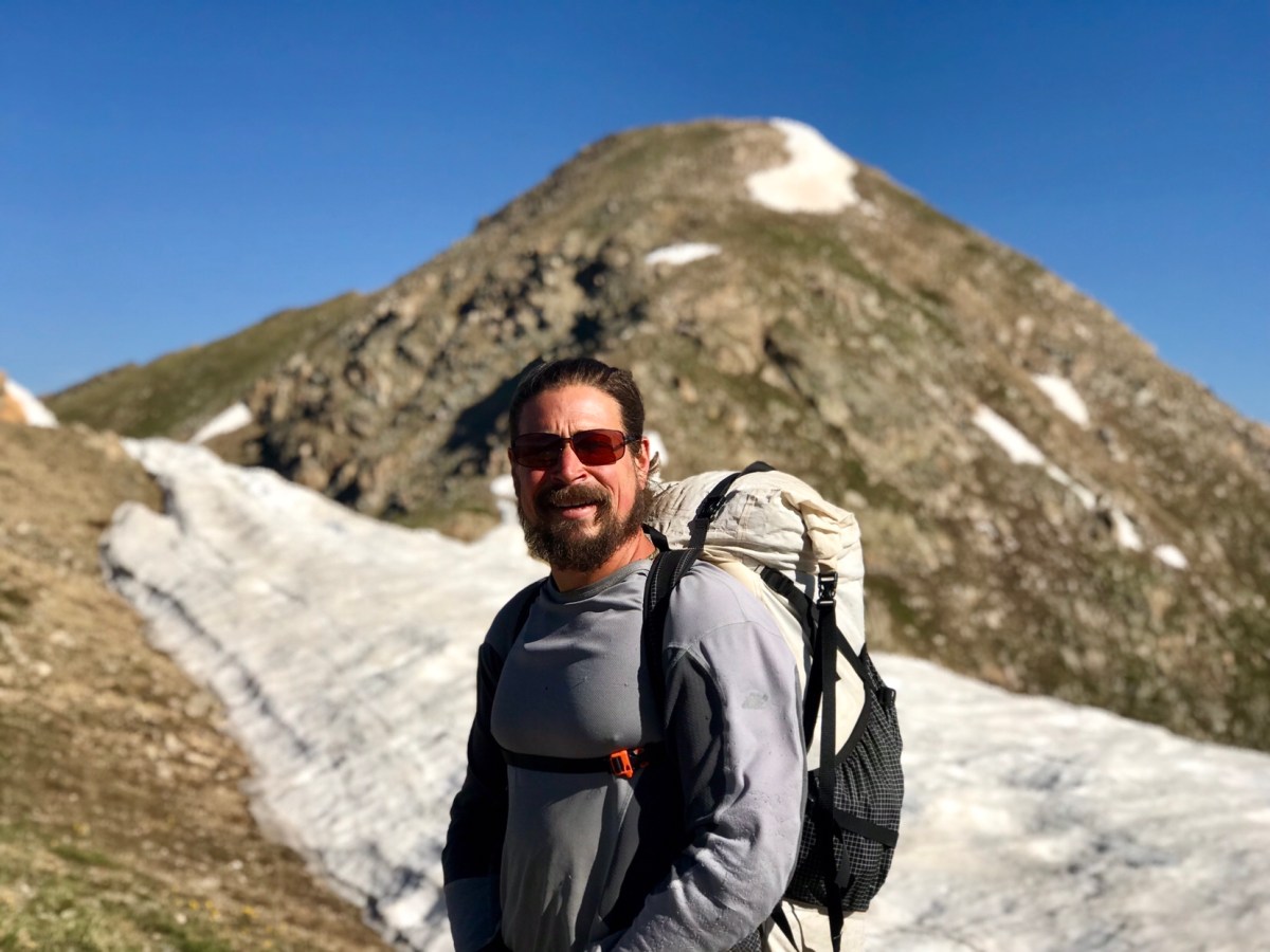
mile 1132.3 to Twin Lakes: 23.3 miles
Total miles: 1002.8
I woke up and unlike other mornings, there were a few dozen mosquitoes resting between the inner part and the fly of our tent. They normally disperse to go off to wherever mosquitoes go at night, but I guess last night they decided to camp with us. Fortunately, they are a lot slower in the morning, and didn’t bother us as all as we packed up our tent.
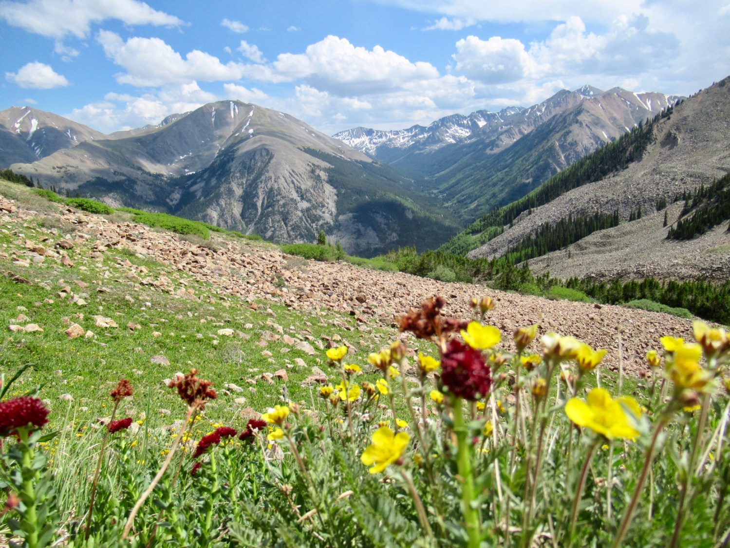
We started the 2.5 mile climb up to Lake Ann Pass, and moved quicker on fresh legs than we would have the night before. The hike was beautiful, and we soon found ourselves atop of the pass. We had heard that there was a steep patch of snow on the north side of the pass, but that it was manageable without any snow gear. What “manageable” meant, we weren’t quite sure, but we had seen pictures and felt confident we’d be able to figure it out safely.

The safest way seemed to be a steep chute; Garrett felt comfortable glisading down, using one of my poles for control. I was a little unsure about that. Due to the noticeable bump that Piglet is making in my mid-section, it is more difficult for me to hold a pole flush across my waist, with one end in the snow, to help me self-arrest if I slide out of control. The snow was firm enough to support my weight, but soft enough to kick my heels into, so I booted down the chute, sitting every foot or so to secure a firm hold, and then slid down the last bit. I was a bit nervous when I started, but once I got a feel for the snow the process of getting down went smoothly.
From there it was smooth sailing for over ten miles, as we dropped down to the valley and followed a surprisingly gentle trail. We managed to hike 3mph, something we were doing in New Mexico, but has been elusive at the high elevations and rocky slopes of Colorado. It started to rain, so we took cover under some trees and ate lunch while it passed over. We crossed our fingers that that would be the last of it, as we had Hope Pass left to climb.
The trail up to Hope Pass was very steep, 1000ft of elevation gain per mile, but when we started it we were in good standing to make Lake Pass by the time the general store, where we had a package to pick-up, closed at 8pm. We hadn’t planed on staying in Twin Lakes, and didn’t want to wait around until the next day for the store to open.
While we moved considerably slower up the steep slope the few miles up to the pass, we made it before 4pm, and were optimistic that we’d be able to cover the 6-8 miles into town. We weren’t exactly sure if it was 6 or 8, as it depended on if we’d be able to ford the river before town, or if we’d have to go around. The official CDT is actually longer, as it loops around the east side of the lake before landing in the town of Twin Lakes, but hardly no one chooses that option as there is a trail on the west side that is 10ish miles shorter.
We took off down the trail, and made good time. We reached a trail junction where we had to decided if we’d continue straight to the lake, to see if we could ford the river flowing into the lake, or head west to a bridge that would get us over. In dry years and in the fall, the ford is manageable. Even though the route with the bridge is a bit longer, we decided not to risk having to hike even more miles if we arrived at an unfordable river, and took the slightly longer but safer route. When we crossed the river on the bridge, we were sure glad that we did- it was raging!
From there it was a short two mile road walk into the tiny town of Twin Lakes, comprised of a general store, inn and saloon, lodge, and cabins. We picked-up our box, and we
were happy to find the saloon was still serving dinner and had modest rooms with shared baths available. We got a room, ate dinner, then sorted our box out for the next section. We heard the remnants of Hurricane Bud were rolling over the Continental Divide for the next 48 hours, and we debated what to do. We had to be in Breckenridge, 73 miles up the trail in 3 days for my ultrasound. That had been the original plan, but since we arrived in town half a day later, we had to settle for hiking 57 miles to Copper Mountain in those 3 days, where we could get an hourly bus to Breckenridge. With heavy rain and thunderstorms in the forecast, we debated if that was even possible. We decided to sleep on it and see if the forecast changed in the morning.
The next day, the forecast hadn’t changed. I was in favor for continuing forward, as if the rain did delay us, we could just get to Leadville 37 miles away and could catch a bus from there. Garrett was more skeptical, and concerned about us taking any unnecessary risks with Piglet aboard. Although I didn’t think we were taking a risk, I understood his perspective, and we decided to just wait the storm out for two days, and rescheduled my ultrasound for later in the week. This plan was made all the more comfortable by the fact that a room had opened up at the lodge for two nights, where we actually had fast internet, TV, and a private bath for only $30 more than the rooms at the saloon. Better yet, they could check us in by noon.
In the end, it’s hard to tell how much the rain would have affected our hike to Copper Mountain. It didn’t rain much in Twin Lakes, but the radar showed heavy rains in the mountains. Hiking through rain is something we’re accustomed to, but we were concerned about having to wait out storms before crossing mountain passes, and the potential for hyperthermic conditions (temps in the 40s and low-50s with rain), or even snow. We had a difference in opinion about the risks, but ultimately I’m glad to have a partner who is more cautious than not. It’s also good for me to get rest when I can get it, whether I feel I need it or not, and Twin Lakes definitely provided that opportunity. Plus, who likes to hike in the rain if you can avoid it? Certainly not us.