mile 810.3 to Three Forks: 12 miles
Total miles: 709.3
While we stayed warm overnight in our tent and sleeping bags, I can’t say the same for our shoes; they were frozen solid, as were our socks and gaiters from the day before (although the latter two froze as soon as we took them off the night before). We ate breakfast in the tent, because we do that now, and if there was ever a reason to do so it’s when your shoes are frozen. While we ate, we put our shoes in the sun to thaw. I bundled-up to get out of the tent and start the day, and while my shoes were still frozen, they loosened up once I wrestled them onto my feet.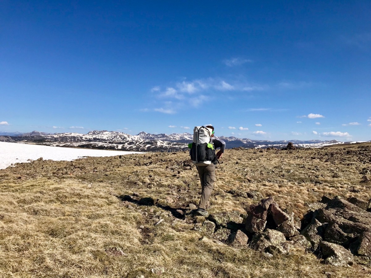
Then we were off to the trail, hoping to at least make the another 18 if not 20 miles. The trail was snow covered in many parts, but the snow was solid and never steep, and we felt like we were making good time. When we stoped for a snack a few hours later we realized we were going much slower than we thought, and by lunch we’d barely gone 8 miles (normally we have at least 12 in). Despite the more solid morning snow, we were still post-holing in spots, and constantly pulling out our maps and GPS to orient ourselves due to the lack of visible trail. It was also cold; so cold that the shutter on Garrett’s camera wouldn’t open all the way, as seen in the photo below. I spent the whole day in my rain gear for protection from the wind and cold, hat, and gloves.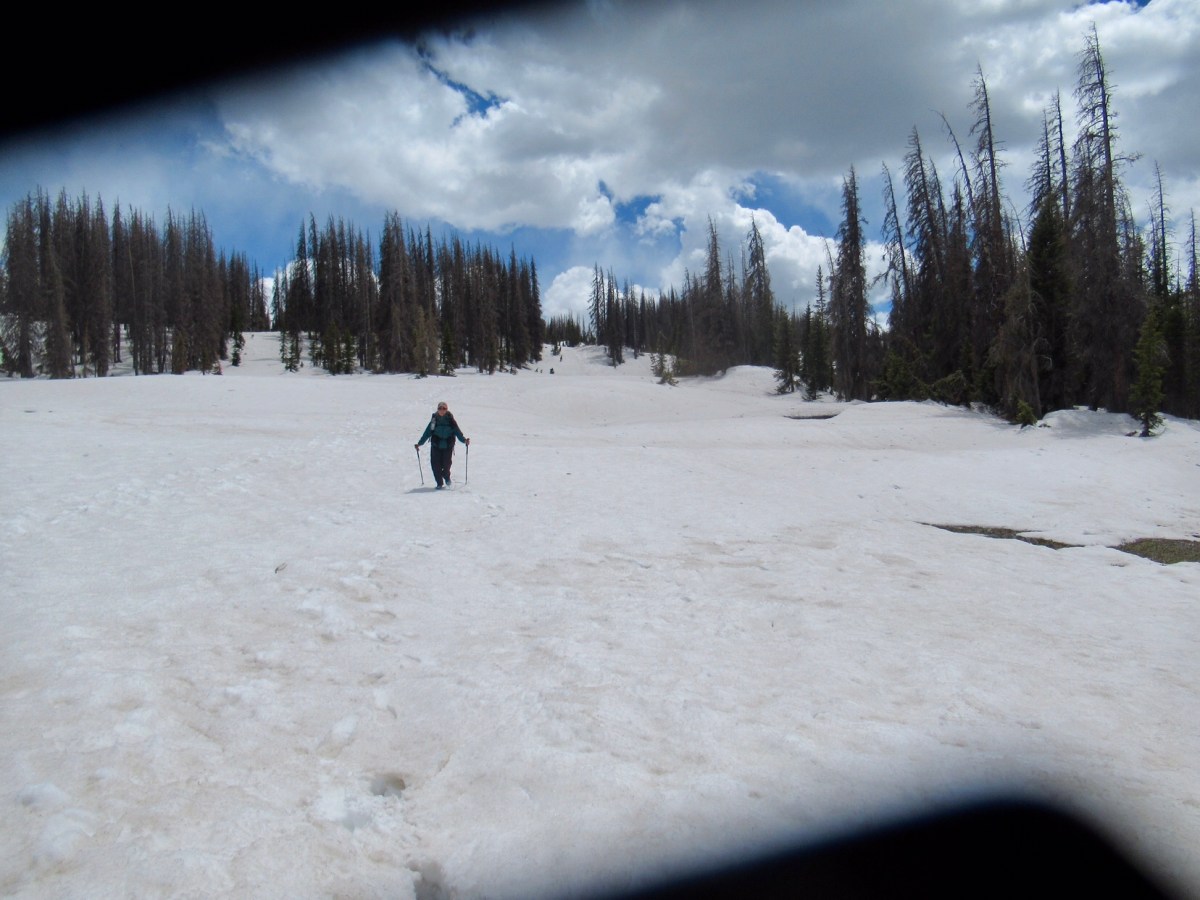
Looking at Ley’s map, he had a purple route that dropped lower into the valley and then reconnected with the CDT further north. It didn’t look to be much shorter, but we figured dropping down in elevation meant less snow to pick through. Ley’s purple routes aren’t his suggested route, but he had a note saying that if there was snow up high this route would be easier travel. We decided to go with it, and a mile or so later glissaded down a small hill to get onto Ley’s route. There was still snow, but we had hopes it would dissipate shortly. Unfortunately, it did not. The route was majority snow travel, and after a half mile or so we debated heading back to the CDT. We though if down low had this much snow, that the CDT would certainly have more as the route was higher. As we were contemplating, we saw Mouse and Shadow following our footsteps down the hill. How great it was to see them! They are reasonable people who are familiar with these mountains, and they picked this route too, so it probably wasn’t a mistake after all (right?!?!).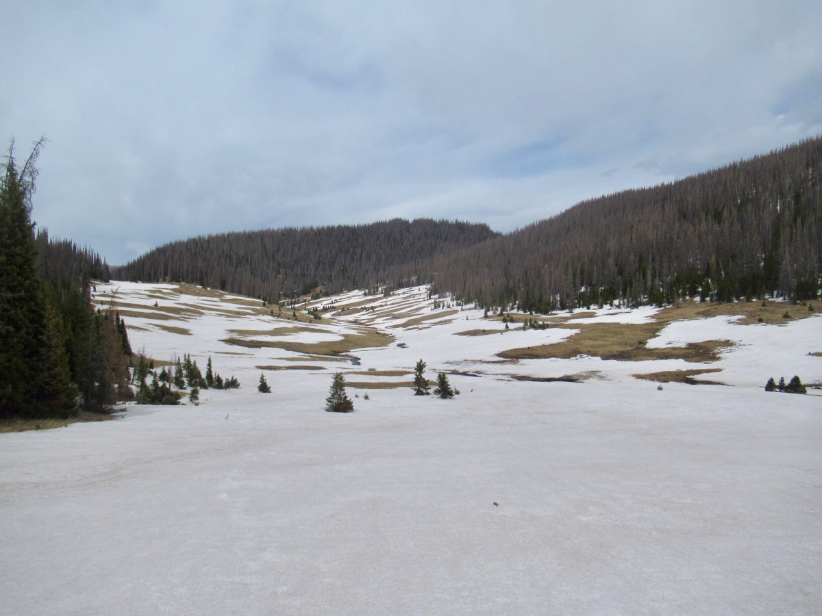
They took the lead, and it was nice to follow in someone else’s footsteps for a change. The navigation was still a little tricky in parts, as even though we were heading down the hills there were many snow drifts to deal with. And then we hit river crossings. The first two were relatively narrow and shallow, but swift. We made it across okay. Then we continued down aways, scrambling over snow drifts, until we finally made it to dirt trail. We all rejoiced, but quickly found that we now needed to cross the river again. This time, the crossing looked deeper, wider, and swifter. Shadow went first being the tallest at over 6ft, and the river came up above his knees. He found a bit of shallower crossing, and helped Mouse cross. Then Garrett crossed over, dropped his bag, and came back for me and my bag. We linked arms and made it across. We’ve done this enough times now it’s not scary, but it sure is cold.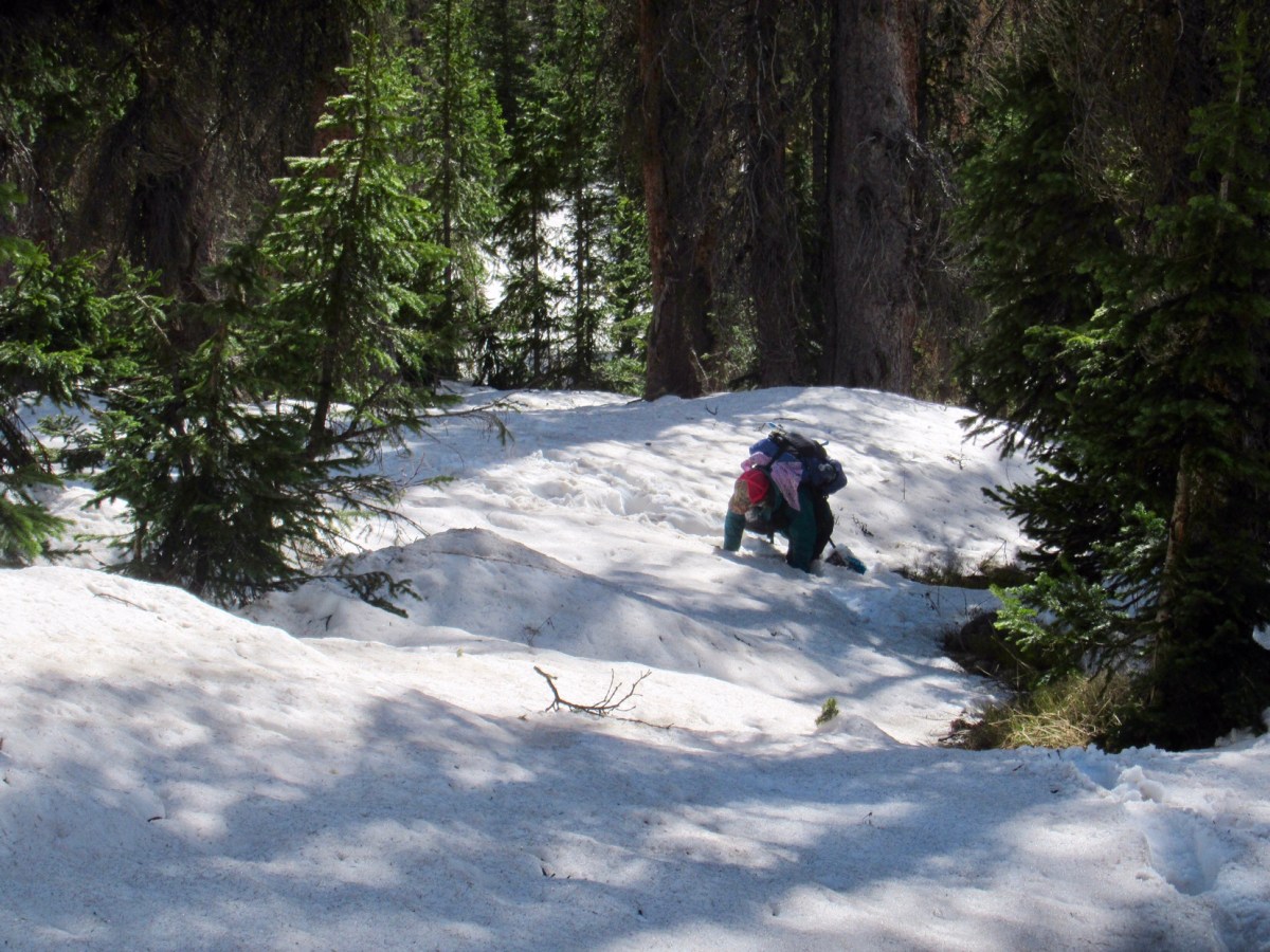
We had more snow, then finally we were on dirt for good and made it to the meadow. There was one last crossing, the widest of them all, but shallow enough for Mouse and I to safely cross by ourselves; it came up to just below my knee. We all stopped for a break in the sun, and to attempt to dry out our wet socks.
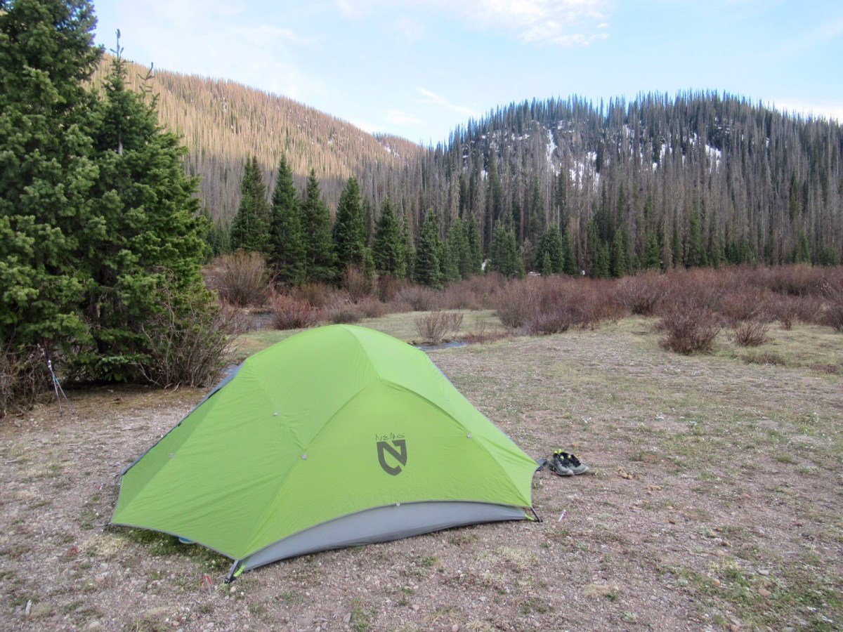
Mouse and Shadow continued on to find camp and we decided to stop early and stay where we were. If we went more than a couple of miles we’d be back into the snow, so we took the opportunity to stop early. Hopefully tomorrow we’ll manage at least 15 miles to make up for our shortest full day on the trail so far.


Hooray for trail friends. I bet you were glad to see them! This sounds quite challenging indeed.