Day 78: Route 40 waterfall to Berthoud Pass, 3.5 miles
Day 79: Berthoud Pass to Fall River, 9.4 miles
Total miles: 1120
Despite our campsite just being a stone throw away from Route 40, it was peaceful and the waterfall drowned out most of the noise from the road. We packed up camp, and I ran into the woods to dig a cat hole like most mornings. This morning our plastic trowel broke as I was trying to dig an appropriately deep 6-8 inch hole. There is some debate in the backpacking community as to if a trowel is necessary for the task, and we think that it is; or at least makes the job so much easier than using a rock or the end of a hiking pole. I laughed and thought to myself, “is that a sign we should go into town today?” Furthermore, someone pulled over and asked us if we needed a ride, we declined; but, now the thought was planted in our heads.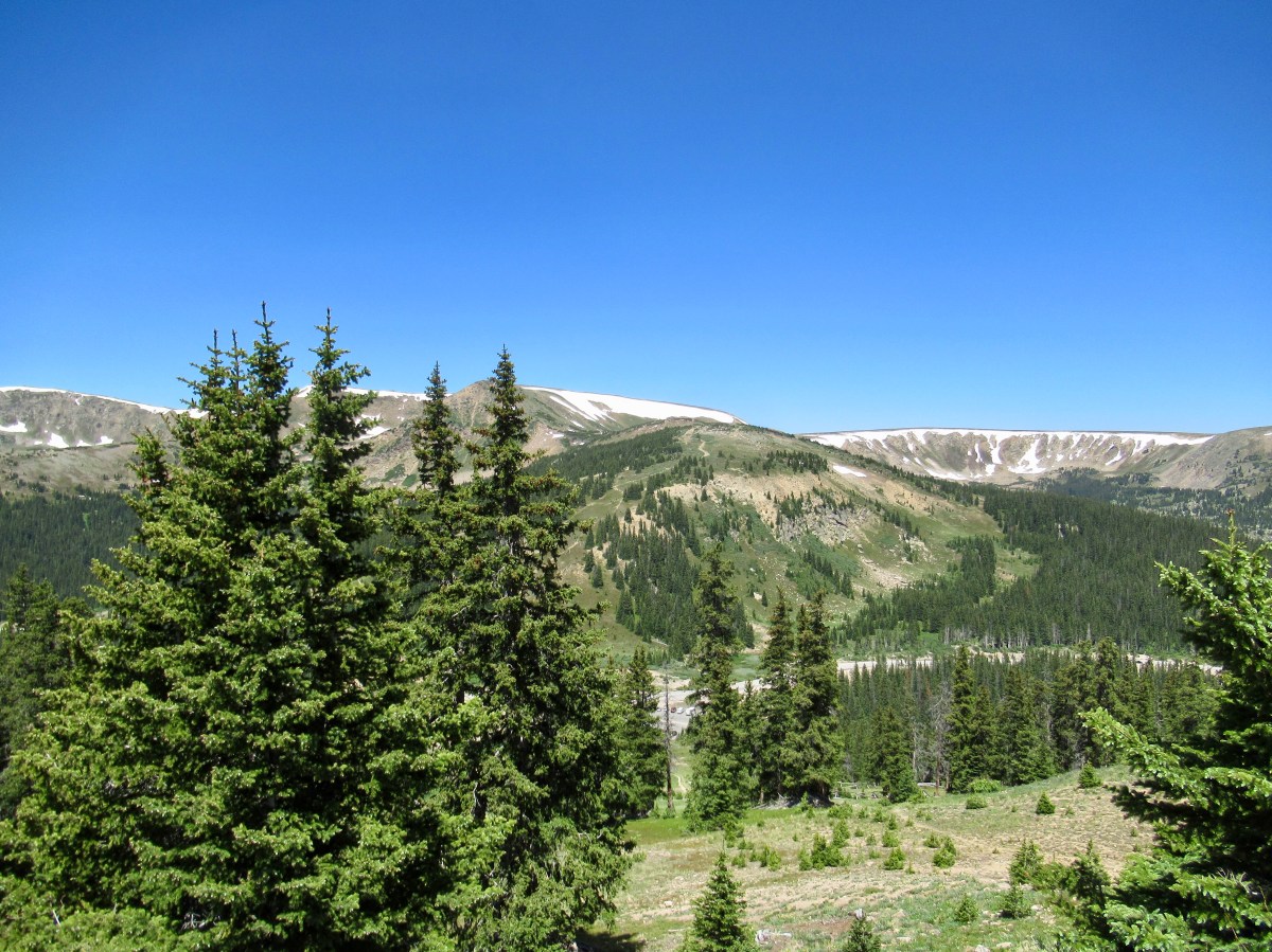
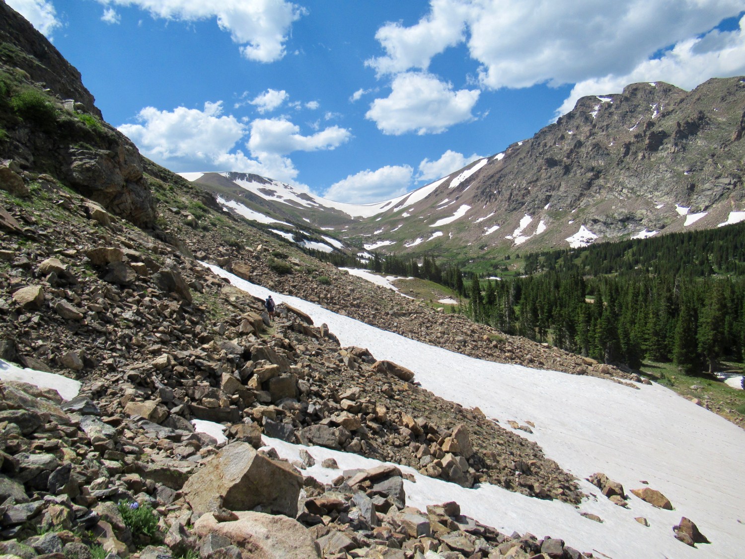
As we started the 3.5 miles up to Berthoud Pass, where the CDT crosses the road, we discussed our options. I was nervous about the section coming up, it was 14 miles of rugged trail with two peaks above 13,000ft. There also didn’t look to be a good place to camp for several miles after the last peak, and I was worried about that as well. We thought we had enough food to get to the next town of Grand Lake, but if things didn’t go well today, we may not.
Garrett suggested that we walk to the pass to reconnect with the CDT, and then hitch into town to grab and extra dinner and see if we could find a trowel at one if the two outfitters. I was hungry, tired, and a little sore, and that sounded like a sensible plan. We’d then be able to break up this difficult section, and do one peak in the afternoon, and save the highest for the next day.
At Berthoud Pass we stuck our thumbs out, and despite all of the traffic, we didn’t get a ride for about 15 minutes. That’s actually a pretty fast hitch, but it seemed longer as so many cars passed us by! Town was a 15 minute drive down the pass, and we asked to be dropped off at McDonalds for second breakfast a little after 8am, and to wait for the outfitters to open. Once they did, we visited each only to find neither carried lightweight backpacking trowels. I grabbed an extra dinner and breakfast though, and then we headed out to the street to decide what to do. Ultimately, I still felt tired, so we changed our plan to stay in town for the day, then head up to the pass late-morning the next day. The decision seemed like a hard one at the time, but in retrospect I’m glad that we did. The day in town was relaxing, we ate a bunch of good food, and the next morning I felt ready to tackle the mountain.
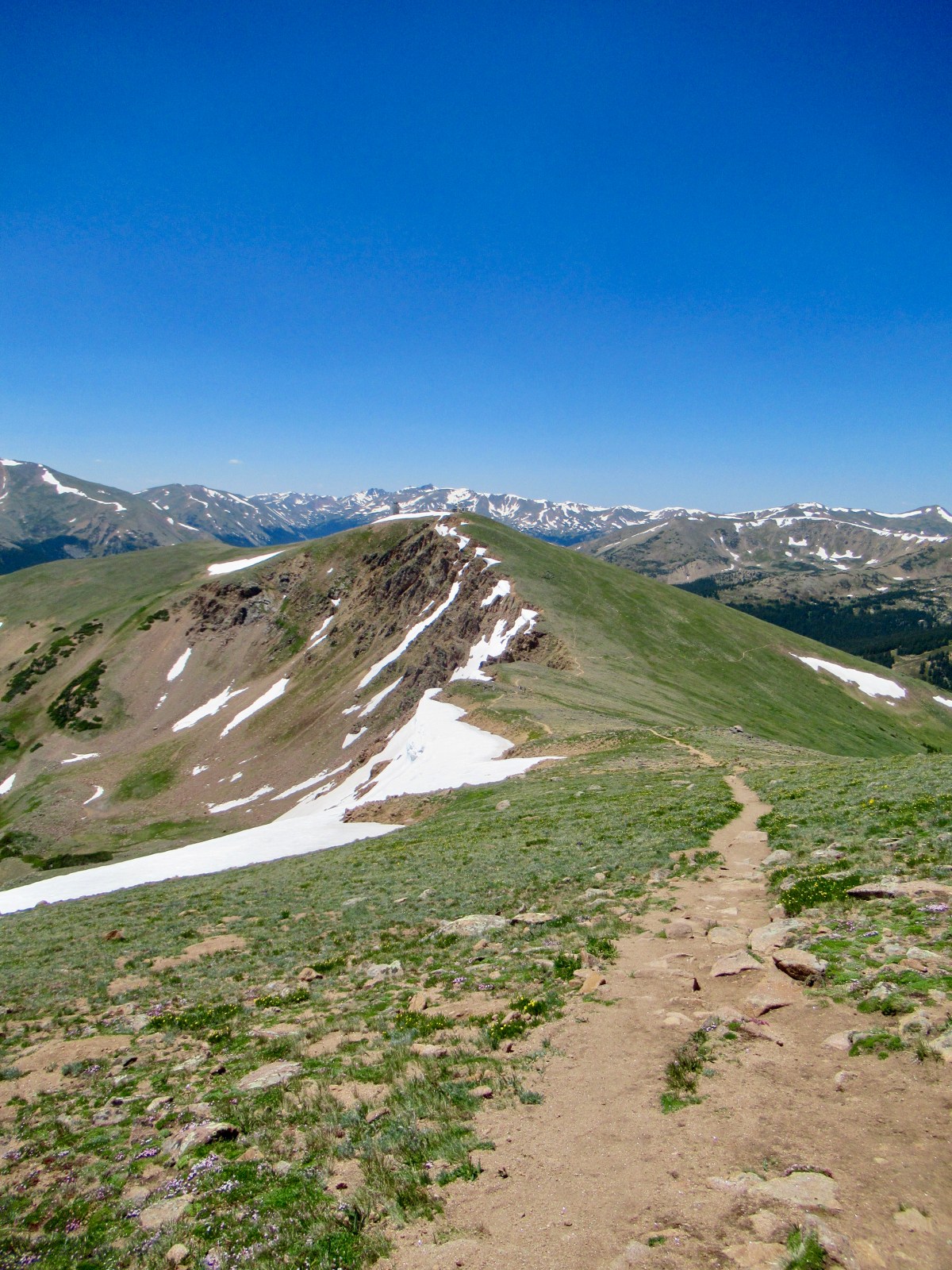
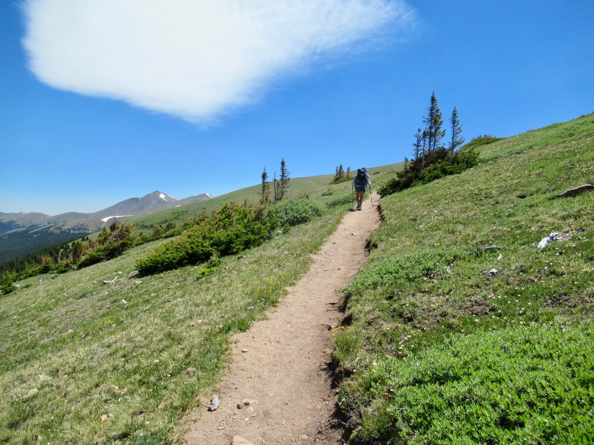 It took us about 20 minutes to hitch out of town, and we were back to the pass a bit after 11am. In the end, the climb up Mt. Flora wasn’t difficult. The trail was graded, and despite high winds, it was an enjoyable hike. I guess you don’t generally name a difficult mountain Mt. Flora. The way down was a little tricky, as the trail switched to mostly large rock slabs and talus. Water was also scarce, and for some reason we were both very thirsty.
We made it to a stream, and filtered some water just before the mosquitoes started swarming. We quickly continued on, and hiked the three miles to Fall River where we planed to camp quickly. We made it by 5pm, and instead of pressing on kept to our original plan to be well rested for the long climb up to Mt. James tomorrow.


This Colorado country is so beautiful, that is, when it is not snow covered!